... Continued from The Great South West: Canyonlands National Park
The next morning, we drove four hours from Moab to get to Bryce Canyon. Just like other places, there were few visitors in the park.
 |
| Bryce Canyon NP Map |
We started our hike into the canyon at Sunrise Point to get below the rim into the towering hoodoos. The trail winds down through man made tunnels into the bottom of the Canyon on the Navajo Trail. A hoodoo at the bottom looks like Queen Victoria if you have wild imagination.
 |
| Near Sunrise Point at the start of Navajo Trail Hike |
The hike is 3.5 miles. It gently slopes down to the bottom for 1.5 miles, then stays flat for a mile, then comes out of Sunset point after a steep incline through a column of hoodoos called Wall Street, then stays flat for half a mile back to Sunrise Point.
 |
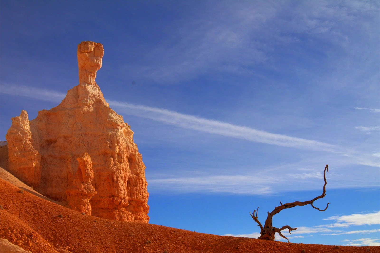
| Some Snow, Blue Sky, and Yellow/Orange Hoodoos Make a Pretty Composition |
Kids had no issues with the hike, although it was a bit chilly and windy at elevation of eight thousand feet. There was some snow on parts of the trail but it posed no threat to the footing.
 |
| Najavo Trail |
 |
| Looking Past a Man Made Tunnel |
The sky was clear with unlimited visibility which gave a good background to the yellow/orange hoodoos.
 |
| Winding Down Navajo Trail |
The Byrce Amphitheatre is seen best on the last segment of the trail from Sunset Point to Sunrise Point. There are several benches to rest and enjoy the view of the amphitheatre.
 |
| Hoodoos From Near the Bottom |
 |
| Hoodoos at Wall Street |
We heard that the amphitheatre is best seen from Inspiration Point, but after a long enjoyable hike, we were fully content, and skipped Inspiration Point for our return trip. Bryce is an incredible scenic place, and I could sit there on a bench staring at the hoodoos all day long.
 |
| Amphitheatre from Sunset Point |

No comments:
Post a Comment