MV

MV

Monday, December 22, 2014

The Great South West: North Coyote Buttes, The Wave

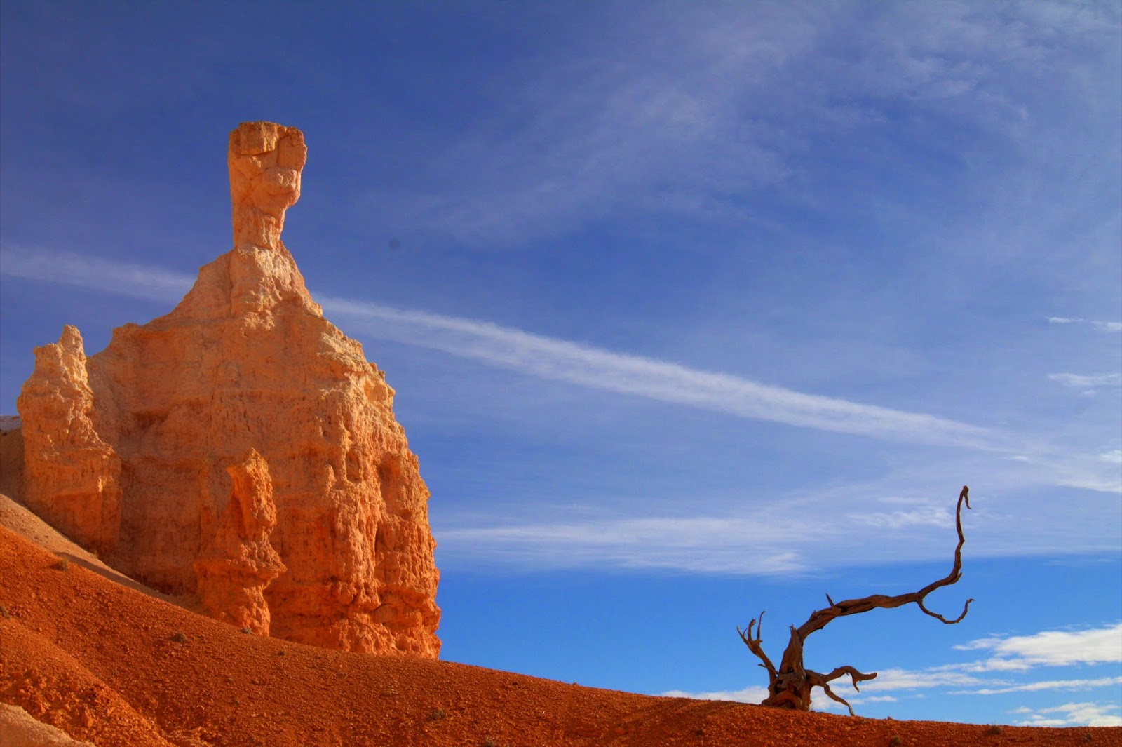
... Continued from The Great South West: Bryce Canyon National Park

After our hike of Bryce Canyon, we drove an hour to Kanab. This is where our plans fell apart. The weather took a turn for the worst and we hunkered down in a snow storm. I had obtained the passes for South Coyote Butte area and was fully prepared to hike it from House Rock Valley Road to Cottonwood Cove. This is an area for which we got the Jeep for. Driving on the gravel / clay road can be challenging when it is wet.

I went to the Kanab Visitor Center (the one next to Comfort Inn) on the day the storm was dumping snow and rain, and was informed that the people who went earlier towards the area were lost and some jeeps got stuck in the wash. I decided to skip South Coyote Butte hike, and tore up my four permits. Instead I decided to apply for the North Coyote Butte permits for the next day. There were fifteen applications for the permits, out of which four were withdrawn by the scared applicants. They were scared by dire warnings by the park trooper to not go to the area due to the continuing storm that was expected to continue for another 24 hours. I decided to not withdraw. They give ten permits per day to North Coyote Butte. I had applied twice on Internet without success but this time the odds were in my favor.
They drew 1 permit, followed by 2 permits, 2 permits, then 4 permits (mine). Jubilation as I was going to The Wave!

As the storm was dumping snow, we decided to take the kids to the Best Friends Animal Sanctuary in Kanab. The people at the Sanctuary are doing some great work. We got a tour of the facility, and kids got to play with some cats and dogs. I was worried the entire day that the next day to North Coyote Butte will be washed out, and I will have to tear up my permits just like I tore up my South Coyote Butte permits that day.

Woke up the next day to find that the snow had become drizzle. I decided to approach the hike to The Wave from a longer but safer route starting at BLM1065 at intersection of 89A and House Rock Road. Radar was showing severe activity near the Coyote Byttes. The road 89A from Kanab rises towards Jacob Lake and the drizzle became moderate snow. My heart was sinking, but as we descended back into the valley near the House Rock Road BLM1065, the snow was gone. House Rock road winds 21 miles to the Wave Trail at the Coyote Wash. As we got closer to the trail, it started snowing heavily. The snow stopped a mile from the trail. Despite all the bad weather, the dirt road was better than what the ranger had described, and we had no issues travelling on it (some people on the trail told us that they approached from the North on a shorter but riskier route, and had no issues).

We parked at the trail and followed the three mile hike to The Wave on my Chart Sack app. I had scanned the map provided by BLM in the app. We packed some high energy food like avocados, cheese, chocolate bars, and bread. Four of us carried a total one gallon of water (only half of it was consumed during the entire hike). It was cold and the sky was overcast.

BLM Wave Hike Map in Chart Sack

The Coyote Butte area is quite scenic. We walked through a wash, among plant of dazzling colors, next to red and yellow peaks, and through sand dunes to The Wave. The last part of the hike makes your heart race as you climb a soft sand dune at high elevation. Kids had no issues, but wife was unhappy/tired till she got to The Wave.

The Wave presents its dazzling colors and patterns. However, we were a bit disappointed, as the Wave itself was smaller than it looks in the pictures. The area above Wave had incredible views of the valley. I am sure the Cottonwood Cove in the South Coyote Butte is similar to the area just above Wave, which in our opinion is better than Wave itself. The hype about wave is not justified but you must see it once. But do not obsess yourself with winning the permit lottery.

We got to The Wave early in the morning while it was overcast. The pictures come out better with the overcast sky than when the sun broke through. Direct sun casts shadow on the wave, making half of it dark which kills the dramatic effect of the wave pattern.

With controlled number of visitors to the North Coyote Butte, the sand stone structures on the ground are still intact. But they break easily when you step on them. Please stay on the trails and avoid stepping on delicate stones or this marvel could erode in our life time. I had strict orders for the kids to respect and leave alone the delicate nature found in this area.


Zain on One Side of The Wave

Me in the Center of The Wave

The Wave

Family at The Wave

We Own The Wave

The Depth of The Wave

Puddle in the Wave

Patterns of The Wave

Full View of The Wave

Patterns on the Buttes

Area Above The Wave

Remarkable Colors

More Colors

The Vastness

Just Above The Wave

Me in Full Wave

Coyote Butte North Hike Back

The Great South West: Bryce Canyon National Park

... Continued from The Great South West: Canyonlands National Park

The next morning, we drove four hours from Moab to get to Bryce Canyon. Just like other places, there were few visitors in the park. 

Bryce Canyon NP Map

We started our hike into the canyon at Sunrise Point to get below the rim into the towering hoodoos. The trail winds down through man made tunnels into the bottom of the Canyon on the Navajo Trail. A hoodoo at the bottom looks like Queen Victoria if you have wild imagination.

Near Sunrise Point at the start of Navajo Trail Hike
The hike is 3.5 miles.  It gently slopes down to the bottom for 1.5 miles, then stays flat for a mile, then comes out of Sunset point after a steep incline through a column of hoodoos called Wall Street, then stays flat for half a mile back to Sunrise Point.

Some Snow, Blue Sky, and Yellow/Orange Hoodoos Make a Pretty Composition

Kids had no issues with the hike, although it was a bit chilly and windy at elevation of eight thousand feet. There was some snow on parts of the trail but it posed no threat to the footing.

Najavo Trail

Looking Past a Man Made Tunnel
The sky was clear with unlimited visibility which gave a good background to the yellow/orange hoodoos.


Winding Down Navajo Trail
The Byrce Amphitheatre is seen best on the last segment of the trail from Sunset Point to Sunrise Point. There are several benches to rest and enjoy the view of the amphitheatre.
Hoodoos From Near the Bottom

Hoodoos at Wall Street

We heard that the amphitheatre is best seen from Inspiration Point, but after a long enjoyable hike, we were fully content, and skipped Inspiration Point for our return trip. Bryce is an incredible scenic place, and I could sit there on a bench staring at the hoodoos all day long.

Amphitheatre from Sunset Point

The Great South West: Canyonlands National Park

... Continued from The Great South West: Arches National Park

Map of Island in the Sky as seen in Chart Sack app
Canyonlands National Park lies next to Arches National Park and covers a vast land area around the Colorado River. We allocated two days to explore it, but because of approaching weather, we cut short our stay in Moab, and decided to cover just Island in the Sky portion of it. We bundled the visit with Dead Horse Point State Park in that day. Hopefully we will be able to return one day to explore the Maze and the Needles area in the park, and maybe get dirty on the dirt roads down into the Canyons.

It was clear and sunny when we drove from Moab to Mesa Arch in Canyonlands. We stopped in the way to see the deep canyon from Shafer Trail. Shafer Trail road was closed due to recent snow storm. We could see ice on this winding, steep dirt road, and would have avoided it even if it was open.

Mesa Arch at Sunrise

We reached Mesa Arch from the road via an easy quarter mile hike. The sun had risen and it was well above the horizon, yet we got the orange glow of the sun in the arch. This is a must see location in Canyonlands at sunrise. The deep views of the Canyon from the arch create a perfect photo composition.

Standing on Mesa Arch and Looking into the Canyon

We drove from Mesa Arch to Grand View Point Overlook. I would skip the Grand View Point Overlook if I have Dead Horse Point in the itinerary, as the later one has more majestic views of the Canyon (albeit of different areas).

Grand View Point Overlook


We drove back to the Mesa Arch, then to Upheaval Dome. The Whale Rock hike near the Upheaval Dome looked interesting, but we skipped it in favor of the Upheaval Dome trail.


One Side of the Crater

There is a moderate hike from the trail head to the Upheaval Dome First and Second Overlooks. Upheaval Dome is a huge crater, also called the Belly Button of Utah. We hiked and back from the Second Overlook with much exploration left to some other day around the round trail along the edges of the impact crater.

There is a steep trail that "falls" down from the First Overlook into the crater. Its worth trying if you are not afraid of steep descents on narrow trails.

Sitting on Viewpoint in the "Center" of the Crater
We drove back to Mesa Arch, then to the Dead Horse Point State Park. The Dead Horse Point Overlook offers the most stunning Canyon view. This is a must see area near Island in the Sky portion of the Canyonlands. The Canyon below is deep, and the stone wall at the top edge of the Canyon is quite scary to stand on, yet we managed to get some pictures taken there.

At Dead Horse Point State Park Visitor Center

Dead Horse Point Viewpoint Edge Wall

Canyon from Dead Horse Point Overlook
There was not a single human being in the park except us four.


The Great South West: Arches National Park

We come to the second chapter of our exploration of the South West.
Unlike last time flying in spring, we decided to drive in winter. We chose winter for several reasons including hotel availability, clearer atmosphere, and less competition for space from warm weather tourists. A major reason to visit in December was to increase our chances of winning "The Wave" lottery. Some disadvantages in winter are chilly conditions at higher elevations, short days, and ghost towns with few restaurants open.

We flew commercial from Boston to Las Vegas, then rented a Jeep Wrangler at the airport to drive 450 miles to Moab, UT where our exploration begun. It snowed the first day on the drive to Moab.

I have written an app for Android that lets you scan and navigate on the National Park Service maps without need for Internet. I had downloaded the NPS maps for all our exploration areas on my N7 tablet and had no difficulty locating any point of interest.
Map of Arches NP as Loaded in Chart Sack app

It was sunny the next day, and the snow had melted. We drove through Arches National Park from the entrance to Balanced Rock, and then to the trail head of Delicate Arch.

At the Entrance of Arches NP at Sunrise
Balanced Rock

The road to the Delicate Arch Viewpoint was closed, so we decided to hike to the Delicate Arch. The hike is moderate intensity and there is a slight diversion to petroglyphs.

Petroglyphs
You should follow the rock markers, otherwise you end up on the wrong side of the arch in the amphitheatre.
Trail rock marker
Amphitheatre Side of the Delicate Arch

It is quite challenging to cross from the amphitheatre to the arch, so we went back to the last stone marker we saw, then hiked behind the "hole" in the amphitheatre wall to the arch.

Window in Amphitheatre on the Hike to Delicate Arch
You can stand in the arch and look down below in the deep valley. This is a must see in Arches NP. The hike is moderate three miles round trip (including the amphitheatre and petroglyphs) with elevation gain of a few hundred feet. The wife pulled her calf muscle, and was on bandage from then onwards.

Delicate Arch

Delicate Arch, (easier crossing is from cameraman side)

From the Delicate Arch trail head, we drove to the Devils Garden trail head. We drove by several arches that we skipped as we could see them from the road (Sand Dune arch area).

We chose the counter clockwise hike of the Devils Garden, and found it to be quite hard with couple of eight year old kids. The hike is easy till Landscape Arch (you can see it on the left of the trail), then turns scary at the primitive trail area (warning signs). We gave up at the Fin Canyon, particularly due to steep drops, and little margin of safety for the kids to play in. The hike back down over the boulders at the start of the primitive trail scares the parents as there are deep crevices around the boulders that an adventurous kid can easily slip into.

Primitive Trail (easier part of the hike after negotiating the boulders)
An East View Near Devils Garden
We visited the Windows section on our way back to Moab. It is an easy and worthwhile hike to see the North and the South Window.

Zain in the North Window
We had plans for off road driving in the Klondike Bluffs, but this is all you can hope to accomplish in Arches in one day. We decided to go to "Island in the Sky of Canyonlands National Park" the next day.