I passed my CFII test yesterday.
This check ride is a replay of the instrument rating check ride with expectation to teach a few things while flying approaches from the right seat.
Things are easier now compared to when I took my instrument rating check ride as now you can use the GPS for VOR approaches (with some conditions).
The rating spanned over one and a half year, with most time spent on reading.
The pace was from slow at the beginning to rapid towards the end.
As always, I passed my written first.
I had not flown instruments for more than a year, so I started simulator work to get my instruments skills back in Executive Flyers. Spanned over two months, I did 9 hours of ground, 3 hours of simulator, and about 6 hours of flight time to get back to instrument proficiency.
Then I started studying. I studied like I tell my students to study: One hour everyday, at the end of the day.
I studied IPH, IFH, and AIM, and underlined important phrases for lesson plans. I prepared lesson plans on most common topics: holds, emergencies, en-route charts, flight planning, and terminal procedures. There is a lot to cover in these topics, so I called my lesson plans "introductory". For example, "First lesson on holds". I left rest of the lesson plan topics to on-spot preparation as examiners allow it (it is a necessary skill of practical teaching).
By the time I was done with study, I was instruments rusty again. Then I went rapid fire on approaches, flew three dozen approaches in 12 flying hours over two weeks at my club (NSAC). Then I took the test.
Costs:
Executive Flyers instructor (18 hours): $1080
Executive Flyers simulator (3 hours): $270
Executive Flyers plane (6 hours): $900
NSAC instructor (12 hours): $360
NSAC plane (14 hours): $1400
Examiner Fee: $300
Total: $4310.
MV

Thursday, January 12, 2017
Thursday, October 20, 2016
Discovering the Aqueducts and Trails of Metrowest
This fall I have been walking a lot. There are numerous trails around Framingham/Sudbury area. You just have to get out and get lost, and before you know it, you are on a scenic trail.
I have discovered two aqueducts that run from Sudbury Reservoir towards East. There is no sign on these aqueducts that prohibit walking on them, hence I assume they are open to public.
Aqueduct #1 (Weston Aqueduct) starts in Framingham, and ends near Weston/Rt-20. Aqueduct #2 (Hultman Aqueduct) starts in Southboro, and ends near Waltham. Both aqueducts provide tens of miles of walking on them and on their adjoining trails (for example, Carol Getchell trail starts at Weston Aqueduct near Potter Road).
Topography of these aqueducts is smooth/grassy yet hilly, which is ideal for a good workout. I have seen people running on them.
The best place to discover these aqueducts is near Potter Road at Framingham/Sudbury border.
Many trails around this area are in Nobscot Boy Scout Reservation. There are two hills in the reservation. The taller hill (Nobscot Hill) has a tower on it, and it has a hike of about 500 feet gain in altitude. The smaller hill has a much easier hike and a vista point on it provides view of some buildings in Boston.
These are some pictures of remarkable trails around my house on and near these aqueducts.
Happy scenic walks!
 |
| Raymond Reservation |
 |
| Weston Aqueduct Past Sudbury River |
 |
| Weston Aqueduct at Potter Road / Elm St. |
 |
A Trail off Weston Aqueduct
|
 |
| A Trail off Weston Aqueduct |


 |
| Mantis |
 |
| Carol Getchell Trail |
 |
| Sudbury River / Carol |
 |
| A Trail in Nobscot |
 |
| Nobscot Hill Climb |
 |
| Nobscot Hill |

 |
| Boy Scout - Nobscot |
 |
| Carol Getchell Trail |


 |
| Hultman Aqueduct |


 |
| Hultman Aqueduct |


 |
| Snake |

 |
| White Pond |


 |
| Sudbury-Concord |
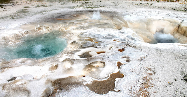
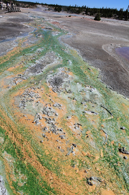
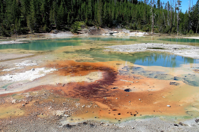
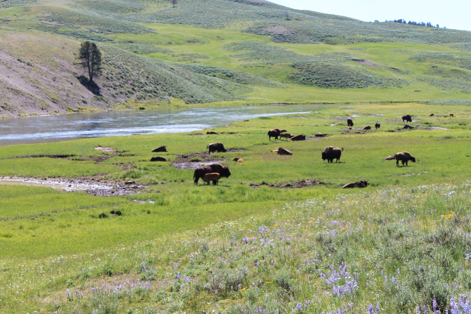
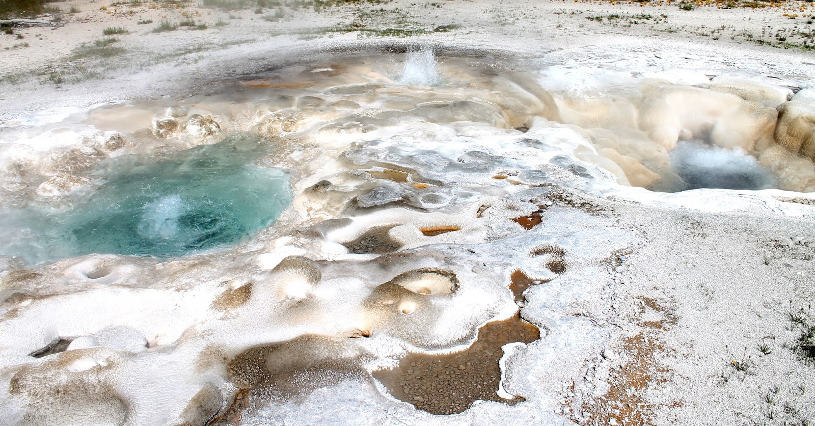
There's No Place On Earth Like Yellowstone
These are a few pictures of our trip to Yellowstone. We spent a week there in the summer of 2014.


Subscribe to:
Posts (Atom)