MV

MV

Wednesday, March 6, 2013

Food That Feels Good

I had full discretion of food choices during the past six weeks.

I made food choices on my rule that food should make you feel good before you eat it, when you are eating it, and several hours after you have consumed it.

This good feeling starts at the wallet. For about $3 a day, you can satisfy 70% of your food requirements **.

Food Approx Price of
One week supply
Quantity Per Day
Egg, boiled 1.00 One
Banana 1.00 One
Kiwi 1.50 One
Orange 2.50 One
Milk with tea 1.50 One cup
Broccoli 0.50 Two small flowers
Raw pineapple 2.50 One slice
Lettuce 1.00 One leaf
Whole wheat bread 2.00 Two slices
Wheat wraps 3.50 Two
Baked potato 2.50 One
Carrots 1.50 Several baby
Mushroom 2.00 Three small


Not much cooking involved, however it takes some time to wash, cut, and split in portions.

I feel energetic all day long, and my brain has good blood supply at work.

** Being a Desi, I complete the remaining 30% with an oil soaked meat serving and rice.

Sunday, February 3, 2013

My Life Today

Life has become very busy between work, after-hours aviation applications development, and training for instrument rating.

After a gap of about six months, I have started running again.  It feels like starting over again. It is frustrating when I get exhausted after about half a mile.  I somehow manage to run about two and a half, with a one minute huff-and-puff stop at one mile mark.  However, I am not too concerned about quickly ramping back up to six mile runs.  The long break actually provided my tired mind and body a much needed rest, after ten years of day after day running regime. I do not plan on going back to running marathons anytime soon.

On the other fitness front, I can now do thirty pull ups with straight legs, in one go.  I plan to be able to do forty on my fortieth birthday.

With family on a tour to Pakistan, I am concentrating more on finishing my instrument flying rating. I am at the airport every weekend, trying to get as much flying as possible. I am half way through the rating, and can easily make approaches with my eyes covered.  But sadly, even on the finest days, I am unable to see the world from above, and unable to snap any good pictures to share.

Avare has been a charm.  There are about five thousand users, donating (voluntarily) a hundred plus dollars a month that pays for the testing equipment.  The application is adding about fifty users a day.  Latest reviews can be found at:
Avare.  The app has introduced me all sorts of interesting people in aviation. 

I recently wrote an article for North Shore Aero Club:

For NSAC - BVY
Zubair Khan

A smart mobile or tablet device has enough storage to download all the FAA charts, airport diagrams, approach plates, and facilities directories. A smart device aviation GPS (SDAG) application bundles all the FAA information, then downloads and stores it, to be displayed in flight when Internet is not available.

A GPS peripheral external or internal to the device, sends geographic location to the SDAG application so it can load and display the aircraft's location on an appropriate sectional, WAC, IFR chart, airport, or approach plate, super imposed with elevation models. An SDAG application's concise graphical layout augments the situational awareness of a pilot, and reduces cockpit clutter.

When on ground, and connected to the Internet, the SDAG application can be a one stop shop for flight planning. The user can select a route sans TFR, then get weather, winds aloft, airport and en-route information, then file a flight plan, with just a few button presses.

Many vendors offer SDAG applications for Google Android, and Apple iOS. All the FAA data is free, but expect to pay yearly “chart subscription fee” of one hundred dollars as software development and marketing costs.

While there is a vast feature disparity between SDAG applications from various vendors, none of them is approved by the FAA for IFR flights. Operating systems on smart devices are not tested according to the strict FAA standards, and hence any software running on them is unfit for use as a primary flight navigation tool. It is unwise to completely rely on an SDAG application during the critical phases of a flight.

Avare is the first free SDAG application, and is available on Google Play store for Android phones and Tablets. Source code is freely available on line for the curious minds.

Monday, November 26, 2012

Avare Progress

When I started developing Avare, I was not sure where it will take me.

But after about two months on Google Play store, it has added about seven hundred users a month, and the trend is up. Aviation is a small market with a lot of established companies so I do not expect a viral uptrend.

There were some frustrating moments when a bug slipped in, but users were extremely helpful in diagnosis.

Mostly it has been a better than expected experience with new and more interesting things happening every day.

I am learning more about business than I would learn  in  a classroom.

The emails, and positive reviews of appreciation I get is the most important thing in these last couple of months.

I have made dozens of pilot friends around the world. One of them a flight instructor, offering to give me free instruction if I could visit his setup in Georgia (State).

More importantly, I know my friend John more now. John has helped in testing, documentation and general road map.

Avare will never make money (we will keep it free). But you got to look beyond nickels and dimes.

Avare has 4.6/5 rating on play store. The app appears third in search "aviation gps".  Moved up from fiftieth place. The nearest competitor has 3.0/5 rating.

http://play.google.com/store/search?q=aviation+gps


Here are the most recent reviews.


Saturday, November 10, 2012

Instrument/Commercial rating

Today I passed the FAA written test for airplane instrument rating. I am extremely excited to start training for instrument and commercial rating.

Some time ago, I wrote five rules for myself, and I plan to stick to them (http://zk4u.blogspot.com/2012/02/flying-safely.html). The only reason I am training is to become a better pilot, and be able to get out of bad weather in case it creeps up on me.

I have no interest in flying for hire.

For the next few months, I will be busy on weekends, flying by sole reference to aircraft instruments, instrument landing, and learning more about weather.

I am also excited to hear that the NSAC club is close to buying a Cessna 182, that can carry four adults to as far west as Chicago, and as far south as Florida without stopping.

Life is so much more fun if there is something to look up to.


Sunday, October 28, 2012

Fryeburg and North Conway

On Sunday, the weather was quite clear for my trip to Fryeburg, ME to check out the fall foliage. I had plans to fly the canyons in the Presidential Range (http://en.wikipedia.org/wiki/Presidential_Range). This was another dad-son day adventure.

The flight was very simple 85 NM from Beverly, flying solely on Avare navigation. However, as I got closer to Fryeburg, it became clear to me that due to low ceiling, I will not be visiting the mountains this time.

The approach to Fryeburg was very bumpy, and I had a less than ideal landing due to a small down down draft a few moments before touchdown. Thanks to the very forgiving Skyhawk I did not even feel the hard touchdown.

I was literally greeted by a couple of pilots at Fyreburg, who guided me to a crew car. The Jeep had stick shift which gave me goose bumps at first, but with a little practice around the parking lot brought back the muscle memory from my days of driving a stick shift in Pakistan 14 years ago.

We drove to North Conway, about fifteen miles from Fryeburg airport, where we had a great lunch. There is a train museum in N Conway that Zain was so excited to visit.

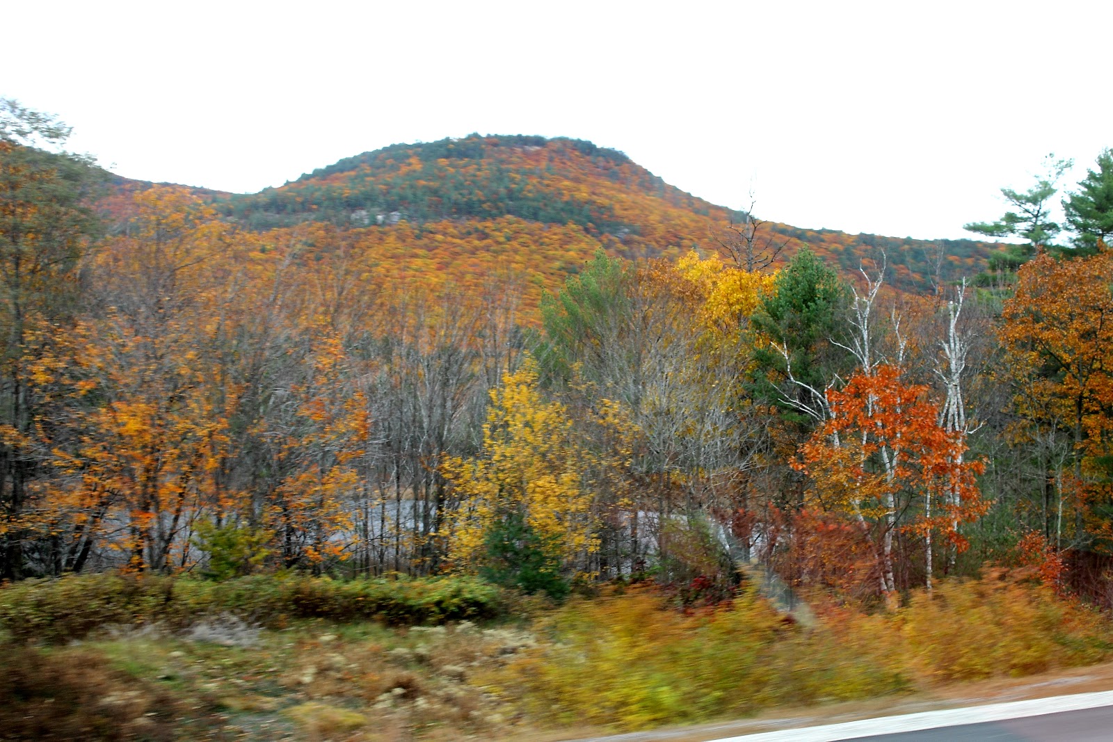
I was getting a bit worried with the slowly dropping ceiling, so after a couple of hours in the town, we drove back to Fryeburg airport. On our way back, we were presented with excellent fall colors, and then were awed by a large rainbow in the air. Whenever I see a rainbow, I prepare myself of rain. Rain did arrive after the rainbow vanished, but we navigated fine through it back to Beverly.

Here are a few other pictures from this adventure.

Crew car called Petunia at Fryeburg, ME. It used to be pink, I was told. Stick shift.

Petunia runs fine. Made the difference between a good trip and a great trip.

Crab cakes, pizza.

Engine in N Conway

Zain on an engine. His mouth is stuffed with food that he decided to carry there.


Excellent fall

Zain breaking the law 


"Petunia" crew jeep


Rain after rainbow

Fall is too red


Back at Beverly and yum at Cherry Farm


To Keene Pumpkin Festival


This was the busiest weekend we had in over a year. We had two days, and we used every single hour of them.

We arrived in Keene on Saturday for the Keene Pumpkin Festival. We were awed by the size of this event. http://pumpkinfestival2011.org/Visitors.html

There were a several thousand people packed in one street of a small town. Although, it was crowded, kids had great time playing and posing with different shapes of pumpkins, prepared by the locals. There were 15000 pumpkins in the street, each one representing a different character of its decorator.

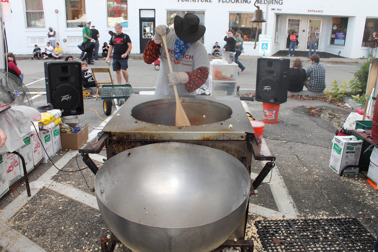
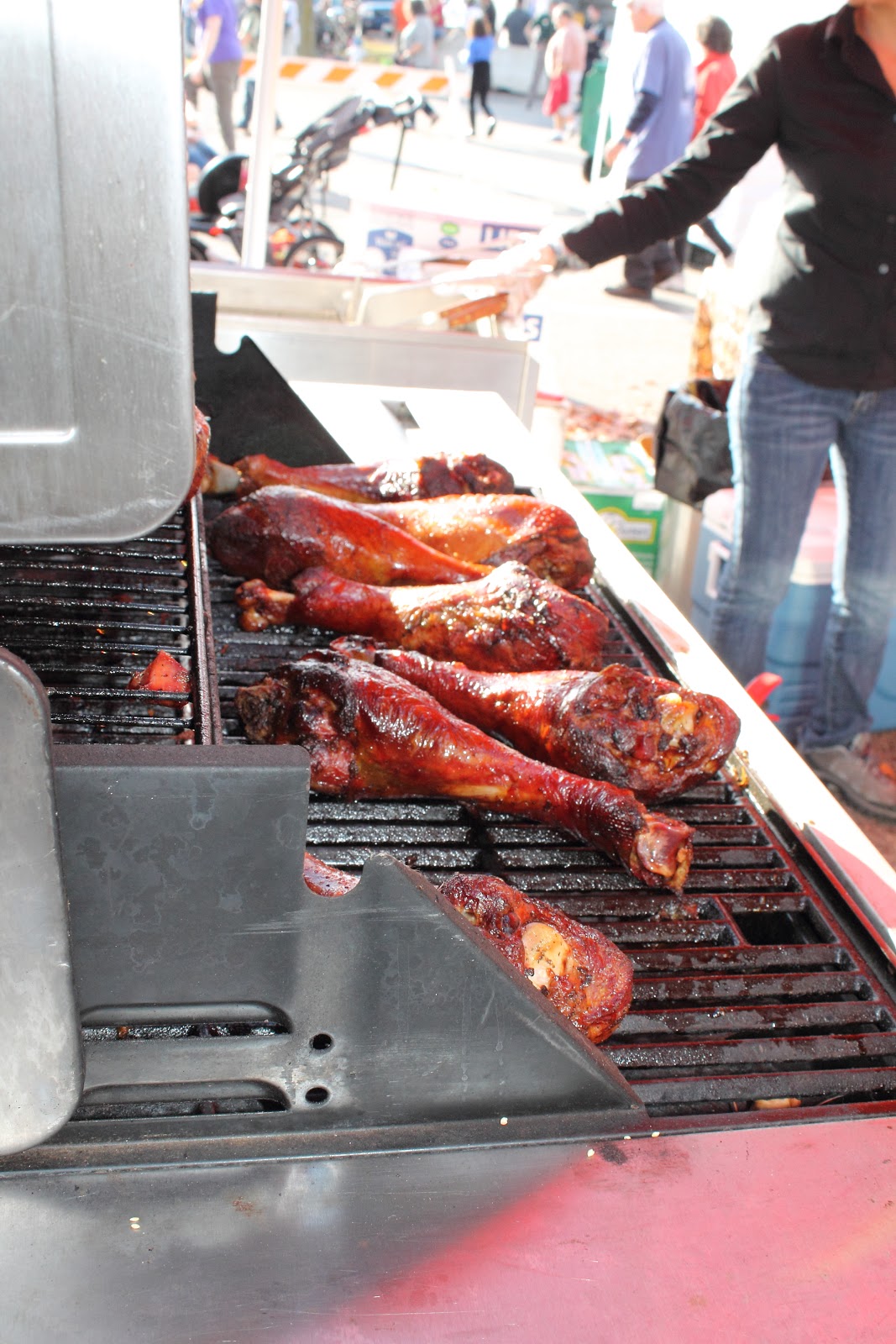
There were all kinds of food stalls with candies, meat, corn, and you name it. We ate till we could not move anymore.

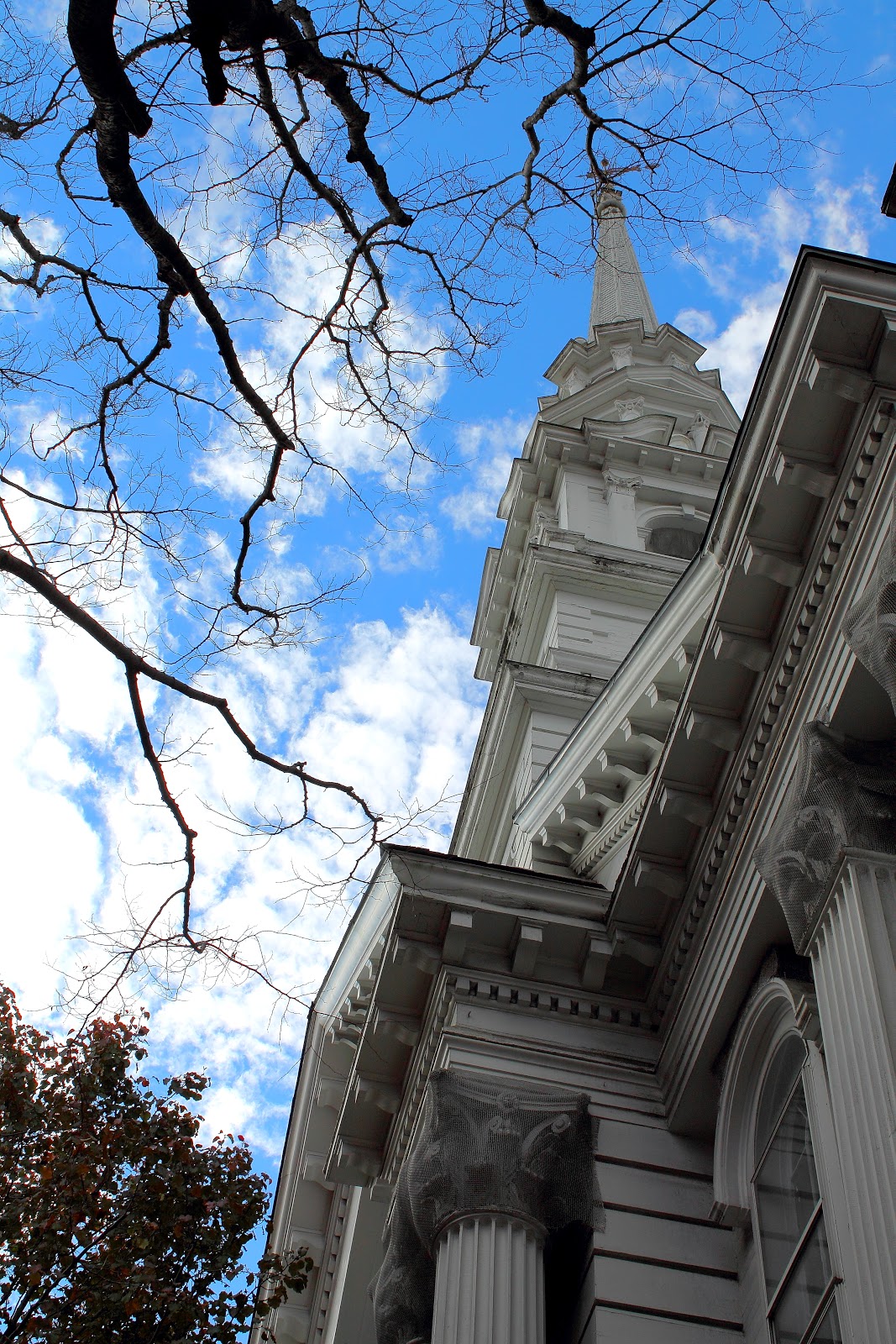
The church in central Keene was converted into a haunted house with guided tours of dungeons full of daemons.

Then at five in the evening, all visitors were asked to help in lighting the pumpkins. Our kids lighted a hundred pumpkins before I stopped counting.

I decided to leave half the family at home, and then head to Fryeburg on Sunday with Zain.

This is a video of one of the dances:

These are the pictures from the trip:


Me and my daughter


Too many people

Haunted house

Just out of farm squash


Lighting the pumpkins